
Претраживање
Приказ резултата 231-240 од 245
Study of Slow Moving Landslide Umka Near Belgrade, Serbia (IPL-181)
(Advancing Culture of Living With Landslides, Vol 1: Isdr-Icl Sendai Partnerships 2015-2025, 2017)
The IPL project No 181 titled "Study of slow moving landslide Umka near Belgrade" started in November 2012. The study area is located on the right bank of Sava River, 25 km south west of Belgrade, Serbia. The basic objective ...
The Accuracy Analysis of Leica ScanStation P20 Data by Means of Point Cloud Fitting Algorithm
(International Federation of Surveyors, FIG, Prague, 2014)
Planning for sustainable development of local municipality / Planiranje održivog razvoja jedinice lokalne samouprave u Republici Srbiji
(Savez inženjera i tehničara Srbije, Beograd, 2012)
The problem of Sustainable Municipality development in Republic of Serbia is quite specific. All official agree that the development is quite slow or stopped. Forming the new association of communities and towns the process ...
Positional accuracy of geographical information and recent standards for its evaluation / Položajna tačnost geografskih informacija i savremeni standardi za njeno ocenjivanje
(Srpsko geografsko društvo, Beograd, 2011)
Positional accuracy is important quantity element of quality of geographical information in digital as well as in analoguos form. This paper points to importance and necessity of evaluation of positional accuracy in recent ...

Uspostava geodetske mreže primjenom globalnih navigacionih satelitskih sistema
(Univerzitet u Banjaluci, Arhitektonsko-građevinsko-geodetski fakultet, Banja Luka, 2016)
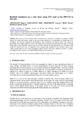
Rockfall simulation on a rock slope along E75 road at km 890+725 to 891+093
(Willey Ernst and Sons, 2018)
The section of E75 motorway under construction was subjected to simulation of potential rockfall hazard. 3D point-cloud surface model of the rock slope, obtained by a combination of LiDAR and UAV techniques, was used for ...

Cadastre Reforms in Serbia Comparing to Document Cadastre 2014
(Proceedengs of Papers, 1 st Serbian Geodetic Congress, International Scientific Conference, 1-3. December, 2011, 2011)
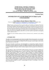
Optimization of Land Distribution in Urban Land Consolidation
(INTERNATIONAL SCIENTIFIC CONFERENCE AND XXIV MEETING OF SERBIAN SURVEYORS ″PROFESSIONAL PRACTICE AND EDUCATION IN GEODESY AND RELATED FIELDS″ 24-26, June 2011, Kladovo - ,,Djerdap“ upon Danube, Serbia, 2011)
This paper describes the legal framework and the problems of urban planning in the Republic of Serbia. Basic
principles of urban land consolidation whose application would improve the urban land development are discussed.
The ...
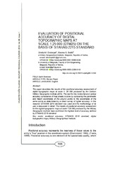
Evaluation of positional accuracy of digital topographic maps at scale 1:25 000 (DTM25) on the basis of STANAG 2215 standard / Ocenka pozicionnoj točnosti na cifrovoj topografičeskoj karte masštaba 1:25 000 (TK25), razrabotannoj v sootvetstvii so standartom «STANAG 2215»
(Univerzitet odbrane u Beogradu - Institut za naučne informacije, Beograd, 2018)
The paper describes the results of the positional accuracy assessment of digital topographic maps at scale 1: 25 000 produced by the Serbian Military Geographic Institute (MGI). The test for the horizontal and vertical ...
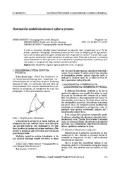
Mathematical models of rhumb line and their application / Matematički modeli loksodrome i njihova primena
(Savez inženjera i tehničara Srbije, Beograd, 2011)
The paper analyses some models of rhumb line on the ellipsoid, sphere and map projection. In geodesy and cartography, rhumb line is a complex curve on the earth's surface that crosses every meridian at the same oblique ...