
Претраживање
Приказ резултата 21-30 од 55
Soil Erosion Assessment and Prediction in Urban Landscapes: A New G2 Model Approach
(MDPI, 2021)
Soil erosion is a global problem that negatively affects the quality of the environment, the availability of natural resources, as well as the safety of inhabitants. Soil erosion threatens the functioning of urban areas, ...
Transfer learning approach based on satellite image time series for the crop classification problem
(Springer, 2023)
This paper presents a transfer learning approach to the crop classification problem based on time series of images from the Sentinel-2 dataset labeled for two regions: Brittany (France) and Vojvodina (Serbia). During ...
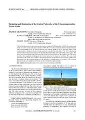
Designing and Realization of the Control Networks of the Telecommunication Tower Avala
(САВЕЗ ИНЖЕЊЕРА И ТЕХНИЧАРА СРБИЈЕ, Београд, 2020)
The Avala telecommunication tower was destroyed during the NATO bombing in 1999. The construction of the new tower at the same place started in 2007. The new tower consists of reinforced concrete part, with a total height ...
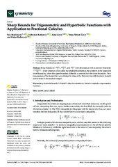
Sharp Bounds for Trigonometric and Hyperbolic Functions with Application to Fractional Calculus
(MDPI, 2022)
A new situation to note about the obtained boundaries is the symmetry in the upper and lower boundary, where the upper boundary differs by a constant from the lower boundary. New consequences of the inequalities were ...
Application of geophysical and multispectral imagery data for predictive mapping of a complex geo‑tectonic unit: a case study of the East Vardar Ophiolite Zone, North‑Macedonia
(Springer-Verlag GmbH Germany, 2024)
The Random Forest (RF) and K nearest neighbors (KNN) machine learning (ML) algorithms were evaluated for their ability to predict ophiolite occurrences, in the East Vardar Zone (EVZ) of central North Macedonia. A predictive ...

Towards Quality Management Procedures in 3D Cadastre
(MDPI, 2024)
The 3D cadastre presents a modern approach to the development of cadastral information systems, with the role of improving current cadastral systems and overcoming the challenges of a 2D-based approach. Technological ...
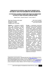
Comparative statistical analysis of geodetic data obtained by aero photogrammetric and GNSS method
(ZBORNIK RADOVA GRAĐEVINSKOG FAKULTETA, SUBOTICA, 2022)
in contemporary geodetic works, data obtained by different measurement technologies are often utilized. The numerous research of photogrammetric method accuracy implicates a need for further research. In this paper the ...

Kriterijumi za primenu hibridnog modela 3D katastra u Srbiji
(Savez inženjera i tehničara Srbije, 2024)
3D katastar kao savremeni pristup razvoju katastarskog informacionog sistema donosi mnoge prednosti i rešava poteškoće koje ima sadašnji katastarski sistem kada je reč o upisu i vizualizaciji 3D kompleksnih situacija. ...
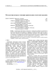
Методологија контроле геометрије кранских шина геодетским мерењима
(Техника, 2023)
У лабораторији Института за материјале и конструкције Грађевинског факултета у Београду постоји обавезујућа потреба за контролом геометрије постојећих кранских шина. У овом раду приказана је методологија одређивања геометрије ...
Short-term forecasting of PM10and PM2.5 concentrations with Facebook's Prophet Model at the Belgrade-Zeleno brdo
(Geofizika, 2023)
We demonstrate the use of Facebook's Prophet (usually just called Prophet) model for short-term air quality forecasting at Belgrade-Zeleno brdo monitoring station. To address missing data, we applied ...