
Претраживање
Приказ резултата 11-20 од 31
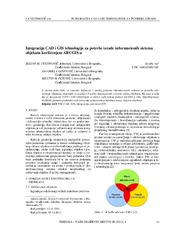
Integration of CAD and GIS technology using ArcGIS for development of building information systems / Integracija CAD i GIS tehnologije za potrebe izrade informacionih sistema objekata korišćenjem ARCGIS-a
(Savez inženjera i tehničara Srbije, Beograd, 2014)
Paper will present basic definitions and significance of implementation of information systems for facility maintenance, as well as terms Facility management (FM) and FM lifecycle. The main focus of this paper is on CAD ...
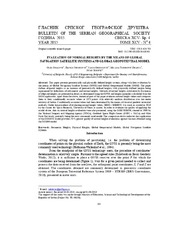
Evaluation of normal heights by the means of global navigation satellite systems and global Geopotential Model / Ocena normalnih visina primenom globalnih navigacionih satelitskih sistema i globalnih geopotencijalnih modela
(Srpsko geografsko društvo, Beograd, 2015)
This paper presents geometrically and physically defined height systems, along with their evaluation by the means of Global Navigation Satellite Systems (GNSS) and Global Geopotential Models (GGM). The paper defines ellipsoid ...
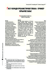
GIS in development of urban plan: Example of Vrnjačka Banja / GIS u izradi urbanističkog plana - primer Vrnjačke Banje
(Institut za arhitekturu i urbanizam Srbije, Beograd, 2009)
This paper illustrate experiences of GIS based spatial geodatabase design realization and development for implementation and monitoring of urban plans. As key study authors used Urban Plan of Vrnjačka Banja created in year ...
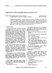
Application of a software package Topocad in geodetic works / Primena softverskog paketa Topocad u geodetskim radovima
(Savez inženjera i tehničara Srbije, Beograd, 2011)
Software package Topocad is used for processing and analysis of geodetic measurements. The program is developed by Swedish company Adtollo. It contains all the options that are most frequent in the surveying jobs. This ...
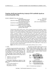
Doprinos određivanju jonosferskog kašnjenja GNSS satelitskih signala na teritoriji Republike Srbije
(Savez inženjera i tehničara Srbije, Beograd, 2023)
Višefrekvencijski GNSS satelitski signali i njihova dostupnost omogućavaju istraživanja u nediferenciranom i nekombinovanom modelu u kome je pojedinačni signal na svakoj frekvenciji odgovarajuće nezavisno opažanje. Ovakve ...

Еталонирање терестричких ласерских скенера у лабораторијским условима
(Техника, 2019)
Терестричко ласерско скенирање (ТЛС) представља методу брзог прикупљања велике количине података у виду „облака тачака“ који нам касније представља основу за приказивање реалног стања „објекта“ у виду тродимензионалног ...
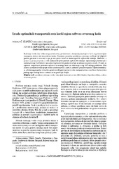
Designing optimal transport routes using open-source software / Izrada optimalnih transportnih ruta korišćenjem softvera otvorenog koda
(Savez inženjera i tehničara Srbije, Beograd, 2018)
Vehicle routing plays a major role in the industry, primarily in companies that organize the transport of goods to end-users. The theoretical background of the vehicle routing problem has been known for many years and it ...
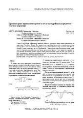
The application of the right rectangular prism in the process determining the value of terrain correction / Primena prave pravougaone prizme u postupku određivanja vrednosti terenske korekcije
(Savez inženjera i tehničara Srbije, Beograd, 2015)
The effects of topographic masses on gravity were determined for the territory of Serbia by using the digital terrain model with resolution of 1 arch second in both directions. For the effect of distant masses, i.e. masses ...
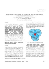
Sizing and calibration of urban stormwater infiltration system in Belgrade / Dimenzionisanje i kalibracija sistema za infiltraciju kišnice na urbanom slivu u Beogradu
(Jugoslovensko društvo za odvodnjavanje i navodnjavanje, Beograd, 2016)
This work shows a way to size and calibrate parameters of urban stormwater collection and treatment infiltration system. Its design allows collection of stormwater runoff events for a 2 year return period and infiltration ...

Mapping probabilities of precipitation occurrence on the territory of the Republic of Serbia by the method of indicator kriging / Kartiranje verovatnoća pojave kišnih padavina na teritoriji Republike Srbije metodom indikatorskog kriginga
(Srpsko geografsko društvo, Beograd, 2013)
This paper presents the application of indicator kriging as a geostatistical method for the purpose of creating maps of precipitation occurrence probabilities on the territory of the Republic of Serbia for distinctive ...