
Претраживање
Приказ резултата 201-207 од 207
Teaching computing for complex problems in civil engineering and geosciences using big data and machine learning: synergizing four different computing paradigms and four different management domains
(Springer, 2023)
This article describes a teaching strategy that synergizes computing and management, aimed at the running of complex projects in industry and academia, in the areas of civil engineering, physics, geosciences, and a number ...
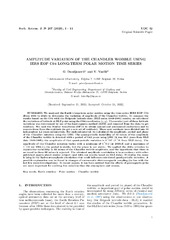
Measuring Chandler Wobble amplitude variations using IERS EOP C04 data
(Astronomska opservatorija i Matematički fakultet - Odeljenje za astronomiju, 2023)
We analyzed the Earth's long-term polar motion using the time series IERS EOP C04 (from 1984 to 2023) to determine the variation of amplitude of the Chandler wobble. To compare the results based on the C04 with the Belgrade ...

The analysis of horizontal positional accuracy of the Digital topographic map 1:50 000 produced by Military Geographical Institute / Analiza horizontalne položajne tačnosti Digitalne topografske karte 1:50 000 izdanja Vojnogeografskog instituta
(Savez inženjera i tehničara Srbije, Beograd, 2009)
This paper describes methodology used for assessment the horizontal positional accuracy of Digital topographic map in scale 1: 50 000 produced by Military Geographical Institute, and gives review of obtained results. Two ...
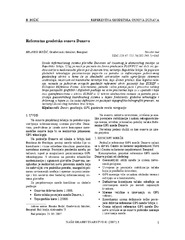
The Danube reference geodetic network / Referentna geodetska osnova Dunava
(Savez inženjera i tehničara Srbije, Beograd, 2007)
The Danube is most important river in Europe today. It relates The Western European countries with The Eastern. The safety of the flyway is a primary aim of the Serbian company PLOVPUT which is in charge to make it to be ...
The global positioning system in geodetic surveying / Tehnologije globalnog sistema za pozicioniranje u funkciji geodetskog premera
(Savez inženjera i tehničara Srbije, Beograd, 2005)
The main task of the surveying is definition, identification, demarcation, measuring and mapping of the boundaries of the natural and artificial objects on the Earth surface. To define the relationship between points, the ...
Geodetic method using in obtaining designed geometry of civil structures / Primena geodetskih metoda u ostvarivanju kvalitetne geometrije građevinskih objekata
(Savez građevinskih inženjera Srbije, Beograd, 2009)
In this article short methodology of control measurements on engineering structures is explained. Special attention is given to the procedure of decision making related to the significance of points movement.
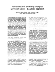
Airborne Laser Scanning to Digital Elevation Model – LAStools approach
(IPSI, Dalmatinska 55, 11000 Belgrade, Serbia, 2023)
Airborne Laser Scanning (ALS) is one of the most popular and cost-effective approaches for collecting Digital Elevation Model (DEM) data. This especially applies to large areas, forested areas, areas with dense vegetation ...