
Претраживање
Приказ резултата 21-30 од 401
TLS-based 3D Deformation Monitoring of Church Bell Tower Geometry
(INGEO & SIG 2020, 2020)
Unlike traditional methods, terrestrial laser scanning (TLS) enables one to collect enormous amount of data in a fairly short time, consequently reducing field efforts. This backed up the decision to employ TLS for deformation ...
Spatio-temporal regression kriging model of mean daily temperature for Croatia
(Springer, 2019)
High resolution gridded mean daily temperature datasets are valuable for research and applications in agronomy, meteorology, hydrology, ecology, and many other disciplines depending on weather or climate. The gridded ...
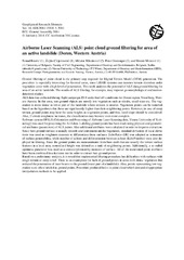
Airborne Laser Scanning (ALS) point cloud ground filtering for area of an active landslide (Doren, Western Austria)
(EGU General Assembly 2014, held 27 April - 2 May, 2014 in Vienna, Austria, 2014)
Ground filtering of point cloud is the primary step required for Digital Terrain Model (DTM) generation. The procedure is especially interesting for forested areas, since LiDAR systems can measure terrain elevation under ...
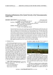
Designing and Realization of the Control Networks of the Telecommunication Tower Avala
(САВЕЗ ИНЖЕЊЕРА И ТЕХНИЧАРА СРБИЈЕ, Београд, 2020)
The Avala telecommunication tower was destroyed during the NATO bombing in 1999. The construction of the new tower at the same place started in 2007. The new tower consists of reinforced concrete part, with a total height ...
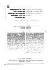
Modelling behaviour of bridge pylon for test load using subspace method
(Zvava Geodetov Slovenije, 2015)
This paper presents the procedure of structure behaviour analysis and modelling applying the subspace method, which has been used in system identification but not in geodetic practice. This method enables the state space ...
Soil Erosion Assessment and Prediction in Urban Landscapes: A New G2 Model Approach
(MDPI, 2021)
Soil erosion is a global problem that negatively affects the quality of the environment, the availability of natural resources, as well as the safety of inhabitants. Soil erosion threatens the functioning of urban areas, ...
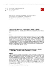
Comparison of IRI-2016 and NEQUICK models of the ionosphere over the Balkan Peninsula during the year 2019 / Поређење IRI-2016 и NEQUICK модела јонофере изнад Балканског полуострва током 2019. године
(University of Banja Luka, Faculty of Architecture, Civil Engineering and Geodesy, 2022)
In this paper, a comparative study of the total vertical electron content (VTEC) calculated using the IRI-2016 and NeQuick2 models were performed. The research was done for the days of maximum solar activity in 2019, with ...
Influence of the periodic changes in the incoming solar hydrogen Ly-α radiation intensity on the total electron content in the ionospheric D-region
(2022)
This paper analyzes variations in the total electron content in the D-region induced by periodical changes in the solar hydrogen Lyα radiation. The considered changes are a consequence of variations in the solar radiation ...
The impact of the Atmospheric Parameters at Electrooptical Distance Measurements
(International Federation of Surveyors, FIG, 2022)
The electro-optical distance measurement (EDM) instruments are widely used not only in geodesy but also in almost all engineering disciplines and related projects. High accuracy length measurements are required especially ...
Transfer learning approach based on satellite image time series for the crop classification problem
(Springer, 2023)
This paper presents a transfer learning approach to the crop classification problem based on time series of images from the Sentinel-2 dataset labeled for two regions: Brittany (France) and Vojvodina (Serbia). During ...