
Pretraživanje
Prikaz rezultata 1-3 od 3
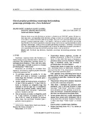
The main project of horizontal deplacement monitoring by geodetic methods at the area of 'Nova Kolubara' / Glavni projekat geodetskog osmatranja horizontalnog pomeranja priobalja reke 'Nova Kolubara'
(Savez inženjera i tehničara Srbije, Beograd, 2010)
The new position of the Kolubara river has been finished since 19.09.2007. Starting from that time, new works are oriented through finishing activities regarding to the new river flow. This article presents the geodetic ...
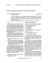
Terrestrial laser scanning technology in geodesy / Primena tehnologije terestričkog laserskog skeniranja u geodeziji
(Savez inženjera i tehničara Srbije, Beograd, 2010)
This paper represents a relatively new terrestrial laser scanning technology and discusses its potential in the geodetic applications. In short, this work describes components of stationary laser scanning system, comparison ...
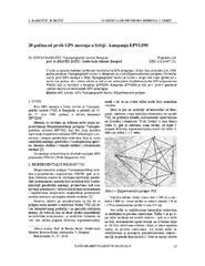
Twenty years from the first GPS measurements in Serbia: Campaign EPVGI90 / 20 godina od prvih GPS merenja u Srbiji - kampanja EPVGI90
(Savez inženjera i tehničara Srbije, Beograd, 2010)
This paper describes measurements and shows the results of the first GPS campaign taken in Serbia, realized by Military Geographical Institute from Belgrade in July 1990, within its Experimental geodetic network. As a ...