
Претраживање
Приказ резултата 31-39 од 39
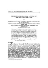
Three-dimensional urban solar potential maps case study of the i-scope project
(Univerzitet u Beogradu - Institut za nuklearne nauke Vinča, Beograd, 2018)
Solar maps as web cartographic products that provide information on solar potential of surfaces on the Earth have been exploited in decision making, awareness raising, and promoting the use of solar energy. Web based solar ...
Air Temperature Prediction / Предикција температуре ваздуха
(ГИС Центар, Београд, Србија, 2018)
Air temperature is one of the most often measured meteorological parameters. Precise air temperature measurements are done in meteorological stations, whose spatial distribution may be uneven and for some applications ...
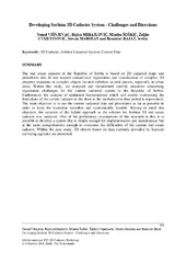
Developing Serbian 3D Cadastre System - Challenges and Directions
(FIG (International Federation of Surveyors), Delft, 2018)
The real estate cadastre in the Republic of Serbia is based on 2D cadastral maps and procedures that do not support unequivocal registration and visualization of complex 3D property situations ...
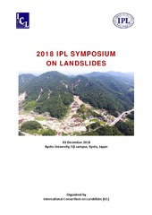
IPL Project 181 Study of slow moving landslide Umka near Belgrade, Serbia progress report for 2017 & 2018
(The International Consortium on Landslides (ICL), Kyoto, 2018)
This paper presents a brief working progress report on realization of the IPL project 181 “Study of slow moving landslide Umka near Belgrade, Serbia”. In this paper we will present results of the project targets performed ...
Sprovođenje urbane komasacije u slučaju postojanja neadekvatnih planskih rešenja
(Zbornik radova, VI hrvatski kongres o katastru, 2018)
The language of proportions in the parametric frame: Exquisite Serbian medieval churches of Raška style group
(Serbian Society for Geometry and graphics Faculty of Technical Sciences University of Novi sad, Belgrade ; Novi Sad, 2018)
Architectural overview of some historical building is certainly not complete without its proportional analyzes. This study is conducted by the proportion-as-ratio principles for analyzing sacred structures, hence highlighting ...

Monitoring of erosion in the area of Đabolja Varoš: Project "Međa" / Monitoring erozije na području Đavolje Varoši: Projekat „Međa“
(Srpsko geološko društvo, Beograd, 2018)
Project "Мonitoring оf Erosion on the Đavolja Varoš site ‐ MEĐA: sustainability of natural phenomena in climate change conditions ", was created by a team of young scientists and PhD students from the Faculty of Mining and ...
Evaluation of positional accuracy of digital topographic maps at scale 1:25 000 (DTM25) on the basis of STANAG 2215 standard / Ocenka pozicionnoj točnosti na cifrovoj topografičeskoj karte masštaba 1:25 000 (TK25), razrabotannoj v sootvetstvii so standartom «STANAG 2215»
(Univerzitet odbrane u Beogradu - Institut za naučne informacije, Beograd, 2018)
The paper describes the results of the positional accuracy assessment of digital topographic maps at scale 1: 25 000 produced by the Serbian Military Geographic Institute (MGI). The test for the horizontal and vertical ...
Rockfall simulation on a rock slope along E75 road at km 890+725 to 891+093
(Willey Ernst and Sons, 2018)
The section of E75 motorway under construction was subjected to simulation of potential rockfall hazard. 3D point-cloud surface model of the rock slope, obtained by a combination of LiDAR and UAV techniques, was used for ...