
Претраживање
Приказ резултата 51-60 од 268
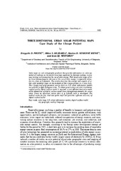
3D urban solar potential maps - case study of the i-SCOPE project
(Belgrade : Vinča Institute of Nuclear Sciences, 2018)
Solar maps as web cartographic products that provide information on solar potential of surfaces on the Earth have been exploited in decision making, awareness raising, and promoting the use of solar energy. Web based solar ...
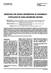
Modelling the spatial distribution of Vojvodina's population by using dasymetric method
(Institut za arhitekturu i urbanizam Srbije, Beograd, 2011)
Cartographic presentation of heterogeneity/homogeneity in the spatial distribution of population is still a major problem in modern geography, and other geo-sciences as well. The traditional method of thematic or choropleth ...
Applying terrestrial laser scanning in geotechnical engineering
(Macedonian Association for Geotechnics; Faculty of Civil Engineering, Skopje, 2014)
Prošlost, sadašnjost i budućnost geodezije u Srbiji
(Savez inženjera i tehničara Srbije, Beograd, 2018)
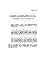
Assessment stability of maize lines yield by gge-biplot analysis
(Društvo genetičara Srbije, Beograd, 2018)
Maize genotypes have varied reactions in different localities, years, treatments or the combination of these factors, due to genotype x year interaction. The objective of this study was to estimate genotype by locality, ...

GIS Technologies In Monitoring Changes Of Bor Оpen-Pit Copper Mine / ГИС технологије у праћењу промена на површинским коповима рудника бакра Бор
(ГИС Центар, Београд, Србија, 2018)
This paper presents the possibility of applications of GIS technologies on remote sensing data in order to understand the trends of the mine expansion and thereby enable putting these processes under control. The proposed ...
Analysis Of Breast Cancer Screening Equipment In The Republic Of Serbia / Анализа опреме за скрининг рака дојке у Републици Србији
(ГИС Центар, Београд, Србија, 2019)
Breast cancer screening involves recognizing so far unrecognized disease using a screening test, in particular case using the mammographic examination method. The high price of a single mammogram and the relatively large ...
Permanent geodetic monitoring of the Umka Landslide using GNSS technology and GeoMoss system
(University of Belgrade, Faculty of Mining and Geology, Belgrade, 2015)

Глобални геопотенцијални модели
(2018)
Уџбеник садржи 9 поглавља при чему jе прво поглавље посвећено основама теориjе физичке геодезиjе и то онаj део коjи се односи на сфернохармониjски развоj реалног и нормалног потенциjала Земљине теже и теже Нормалне Земље, ...
Nov model organizacije sistema vrednovanja nepokretnosti za službene potrebe u Republici Srbiji
(Udruženje urbanista Srbije, Beograd, 2014)