
Претраживање
Приказ резултата 231-240 од 262
The language of proportions in the parametric frame: Exquisite Serbian medieval churches of Raška style group
(Serbian Society for Geometry and graphics Faculty of Technical Sciences University of Novi sad, Belgrade ; Novi Sad, 2018)
Architectural overview of some historical building is certainly not complete without its proportional analyzes. This study is conducted by the proportion-as-ratio principles for analyzing sacred structures, hence highlighting ...
Потпуни метод најмањих квадрата у функцији решавања геодетских проблема
(Универзитет у Београду, Грађевински факултет, 2016)
Doktorska teza je posvećena primeni tehnike potpune metode najmanjeg kvadrata...
A presentation method of students’ assignment in geometry-intersection of two surfaces of second order
(Serbian Society for Geometry and Graphics (SUGIG)Faculty of Civil Engineering, University of BelgradeAkademska misao, Beograd, 2016)
There are two courses concerning geometric topics in the freshman studies at the Faculty of Civil Engineering in Belgrade: Descriptive Geometry for civil engineers and Computational Geometry, for geodetic engineers. In the ...

Planning for sustainable development of local municipality / Planiranje održivog razvoja jedinice lokalne samouprave u Republici Srbiji
(Savez inženjera i tehničara Srbije, Beograd, 2012)
The problem of Sustainable Municipality development in Republic of Serbia is quite specific. All official agree that the development is quite slow or stopped. Forming the new association of communities and towns the process ...
Коришћење UAV фотограметрије и ласерског скенирања из ваздуха (LiDAR) приликом праћења активности клизишта на Умци
(Универзитет у Београду - Факултет безбедности, 2023)
Клизишта, као природне непогоде, егзистирају годинама, па у неком случајевима и више деценија. Због штетних последица које проузрокују, а како би се потенцијална опасност благовремено уочила и на време спречила, потребно ...

Monitoring of erosion in the area of Đabolja Varoš: Project "Međa" / Monitoring erozije na području Đavolje Varoši: Projekat „Međa“
(Srpsko geološko društvo, Beograd, 2018)
Project "Мonitoring оf Erosion on the Đavolja Varoš site ‐ MEĐA: sustainability of natural phenomena in climate change conditions ", was created by a team of young scientists and PhD students from the Faculty of Mining and ...
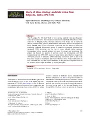
Study of Slow Moving Landslide Umka Near Belgrade, Serbia (IPL-181)
(Advancing Culture of Living With Landslides, Vol 1: Isdr-Icl Sendai Partnerships 2015-2025, 2017)
The IPL project No 181 titled "Study of slow moving landslide Umka near Belgrade" started in November 2012. The study area is located on the right bank of Sava River, 25 km south west of Belgrade, Serbia. The basic objective ...

Permanent GNSS monitoring of landslide Umka
(University of Banja Luka Faculty of Architecture, Civil Engineering and Geode, 2020)
The Umka landslide is one of the biggest inhabited active landslides in Serbia. The Umka landslide activity has been monitored for a period longer than 85 years, by various geotechnical and geodetic techniques. Since 2010, ...
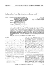
Analiza stabilnosti brane „Lipovica“ primenom Karlsrue metode
(Društvo inženjera i tehničara, Časopis Tehnika, 2023)
U radu je prikazana analiza stabilnosti geodetske 2D mreže brane „Lipovica“ primenom Karlsrue
metode deformacione analize. U prvom delu rada, data je uopštena klasifikacija deformacionih modela koji se koriste prilikom ...
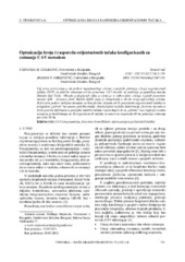
Optmizacija broja i rasporeda orijentacionih tačaka konfigurisanih za snimanje UAV metodom
(Tehnika, 2022)
Cilj ovog istraživanja je da prikaže najoptimalnije rešenje u pogledu položaja i broja orijentacionih tačaka (GCP) za potrebe snimanja terena primenom UAV metode na području prigradskog naselja Duboko kod Umke. Obrada ...