
Search
Now showing items 1-10 of 12
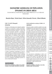
Dasymetric modelling of population dynamics in urban areas
(Geodetski vestnik, 2013)
Solving the problem of publicly available census data disaggregation has preoccupied numerous researchers intensively A noteworthy advance in the methodology was made thanks to the contemporary storage and presentation of ...
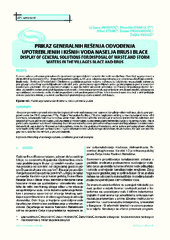
Display of general solutions for disposal of waste and storm waters in the villages Blace and Brus / Prikaz generalnih rešenja odvođenja upotrebljenih i kišnih voda naselja Brus i Blace
(Udruženje za tehnologiju vode i sanitarno inžinjerstvo, Beograd, 2013)
This paper presents a general solutions for disposal of waste and atmospheric waters in the villages Blace and Brus, which were prepared under the IPA III component PPF4 - Project Preparation Facility 4, IPA 2010. Legislation ...
Establishment of the MGI EDM calibration baseline
(Survey Review, 2013)
This paper deals with the estimation of the quality of the baseline for the calibration of distance measurement devices which was established by Serbian Military Geographic Institute for military use. The basic characteristics ...
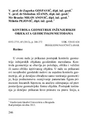
Control of geometry of engineering facilities by geodetic methods / Kontrola geometrije inženjerskih objekata geodetskim metodama
(Savez građevinskih inženjera Srbije, Beograd, 2013)
In this paper we present a method for control of geometry of engineering facility by geodetic methods. Control of geometry can be performed by location, shape and size and shape only. Paper also presents all necessary ...
Mapping average annual precipitation in Serbia (1961-1990) by using regression kriging
(Springer-Verlag Wien, 2013)
The appearence of geostatistics and geographical information systems has made it possible to analyze complex spatial patterns of meteorological elements over large areas in the applied climatology. The objective of this ...
Design and optimisation of laser scanning for tunnels geometry inspection
(Tunnelling and Underground Space Technology, 2013)
The use of terrestrial laser scanning technology in engineering surveys is gaining an increasing interest due to the very high spatial density of the acquired data. Recent improvements regarding the speed, accuracy, software ...
Trace element distribution in surface soils from a coal burning power production area: A case study from the largest power plant site in Serbia
(Catena, 2013)
The content of trace elements (As, Cd, Co, Cr, Cu, Hg, Mn, Ni, Pb and Zn) in surface soils in the area surrounding the largest coal-fired power plant in Serbia was determined to assess the contribution of emissions to ...
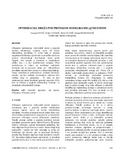
Optimization of pressurized pipe networks modelled with ΔQ method / Optimizacija mreža pod pritiskom modeliranih ΔQ metodom
(Jugoslovensko društvo za odvodnjavanje i navodnjavanje, Beograd, 2013)
Efficiency of optimization of water networks in terms of expenditure of computer running time depends on the speed of the hydraulic calculations. In this paper use of the ΔQ method for network calculation, was tested on ...

Analysis of the terrestrial laser scanning georeferencing methods / Analiza metoda georeferenciranja podataka terestričkog laserskog skeniranja
(Savez inženjera i tehničara Srbije, Beograd, 2013)
From the point of engineering geodesy this paper discuses registration and georeferencing methods of the terrestrial laser scanning (TLS) data. The different functional and stochastic spatial transformation models of the ...
Mortgage market in the republic of Serbia: present situation and prospects
(Geodetski vestnik, 2013)
This paper discusses the development of mortgage loans market in the Republic of Serbia through development of the instruments for provision of legal security of investments - both to creditors and to debtors. It explains ...