
Претраживање
Приказ резултата 11-17 од 17
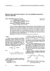
The application of the right rectangular prism in the process determining the value of terrain correction / Primena prave pravougaone prizme u postupku određivanja vrednosti terenske korekcije
(Savez inženjera i tehničara Srbije, Beograd, 2015)
The effects of topographic masses on gravity were determined for the territory of Serbia by using the digital terrain model with resolution of 1 arch second in both directions. For the effect of distant masses, i.e. masses ...
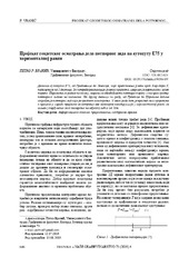
Пројекат геодетског осматрања дела потпорног зида на аутопуту Е75 у хоризонталној равни
(Tehnika, 2019)
Деоница аутопута Е75, од Грабовнице до Левосоје, која представља јужни крак Коридора X,
подељена је на 5 деоница. За потребе реализације главног пројекта, извршен је вертикални засек терена. Паралелно са радом на засеку, ...

Designing optimal transport routes using open-source software / Izrada optimalnih transportnih ruta korišćenjem softvera otvorenog koda
(Savez inženjera i tehničara Srbije, Beograd, 2018)
Vehicle routing plays a major role in the industry, primarily in companies that organize the transport of goods to end-users. The theoretical background of the vehicle routing problem has been known for many years and it ...

Application of a software package Topocad in geodetic works / Primena softverskog paketa Topocad u geodetskim radovima
(Savez inženjera i tehničara Srbije, Beograd, 2011)
Software package Topocad is used for processing and analysis of geodetic measurements. The program is developed by Swedish company Adtollo. It contains all the options that are most frequent in the surveying jobs. This ...

Integration of CAD and GIS technology using ArcGIS for development of building information systems / Integracija CAD i GIS tehnologije za potrebe izrade informacionih sistema objekata korišćenjem ARCGIS-a
(Savez inženjera i tehničara Srbije, Beograd, 2014)
Paper will present basic definitions and significance of implementation of information systems for facility maintenance, as well as terms Facility management (FM) and FM lifecycle. The main focus of this paper is on CAD ...
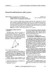
Mathematical models of rhumb line and their application / Matematički modeli loksodrome i njihova primena
(Savez inženjera i tehničara Srbije, Beograd, 2011)
The paper analyses some models of rhumb line on the ellipsoid, sphere and map projection. In geodesy and cartography, rhumb line is a complex curve on the earth's surface that crosses every meridian at the same oblique ...

Planning for sustainable development of local municipality / Planiranje održivog razvoja jedinice lokalne samouprave u Republici Srbiji
(Savez inženjera i tehničara Srbije, Beograd, 2012)
The problem of Sustainable Municipality development in Republic of Serbia is quite specific. All official agree that the development is quite slow or stopped. Forming the new association of communities and towns the process ...